
GIS modules
Geographic information systems, or GIS for short, are used to log and manage the attribute and geometric data within its complex, logical and spatial environment. Spatial analysis tools enable you to generate new information.
Whether you are working on a new design, redesigns or maintenance projects, the well-documented existing conditions are the starting point of any considerations. card_1 can provide complex, spatial information systems for a wide range of applications, e.g. road, railway, traffic sign or tree cadastres.
GIS Export
Export card_1 topographic data in the Shape (ESRI), KML (Google Maps), and GML formats, including XPlanung. Analysis of sub-attributes. Import and export of card_1 data in C1XML format for data exchange between card_1 projects.
GIS Import
The Import Shape Data interface is an easy to use tool to import GIS data and WFS data into card_1.
Design objects are also based on the data of the existing conditions. These are managed in geographical information systems. Nature reserves, conservation areas, water conservation areas, flood areas, administrative borders as well as road and other data are examples of data compiled in such systems.
Products from the ESRI(r) ArcGIS family are so common that the Shape format has basically established itself as the standard data exchange format. Some of the German federal states' environmental authorities even provide free access to Shape data on the internet.
You can seamlessly import any geometric and attribute data into your card_1 project using the new Import Shape Data card_1 module. The interface enables you to import points, polygons and areas as well as any object attributes making it very easy to include this geographical information while designing and creating drawings with card_1. You can access the attributes to run analyses and other evaluations within card_1.
CityGML Import
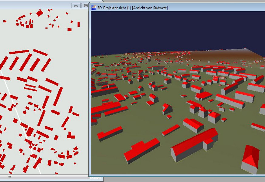
Import 3D-building data (3D-city models). Visualize in card_1 in e.g. the 3D-project view. Transformation into project coordinates-system 'on the fly'(requires the Transformation module).