Point Clouds – not Steam Clouds
On the 25 October 2013 a RailMapper completed its surveying tasks along the Windbergbahn track – a first on German railways. This two-mode vehicle (HiRail) enabled quick, precise recording of the existing conditions thanks to its built-in terrestrial laser scanning technology. The data was evaluated using card_1.
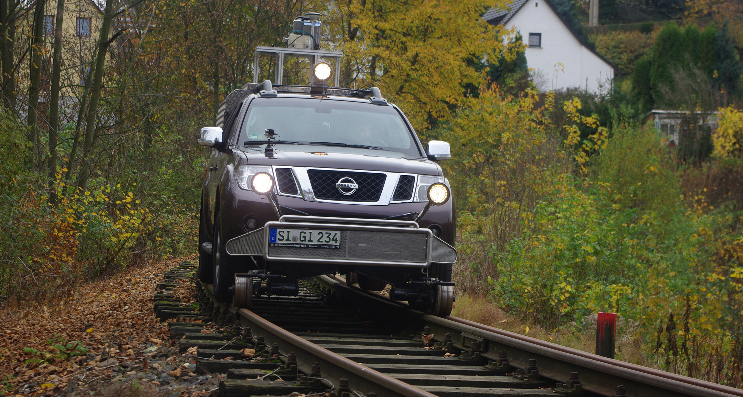
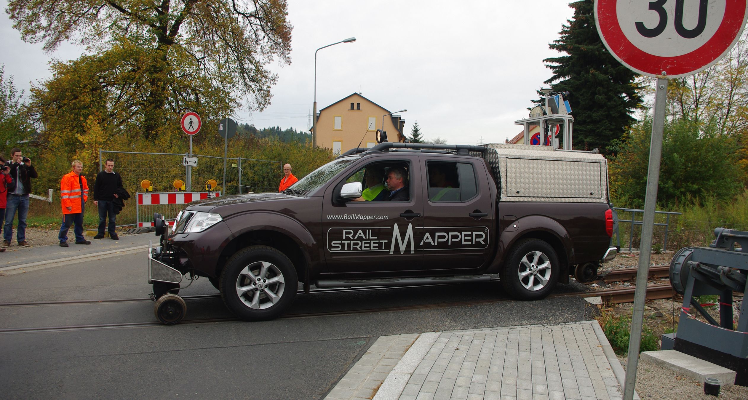
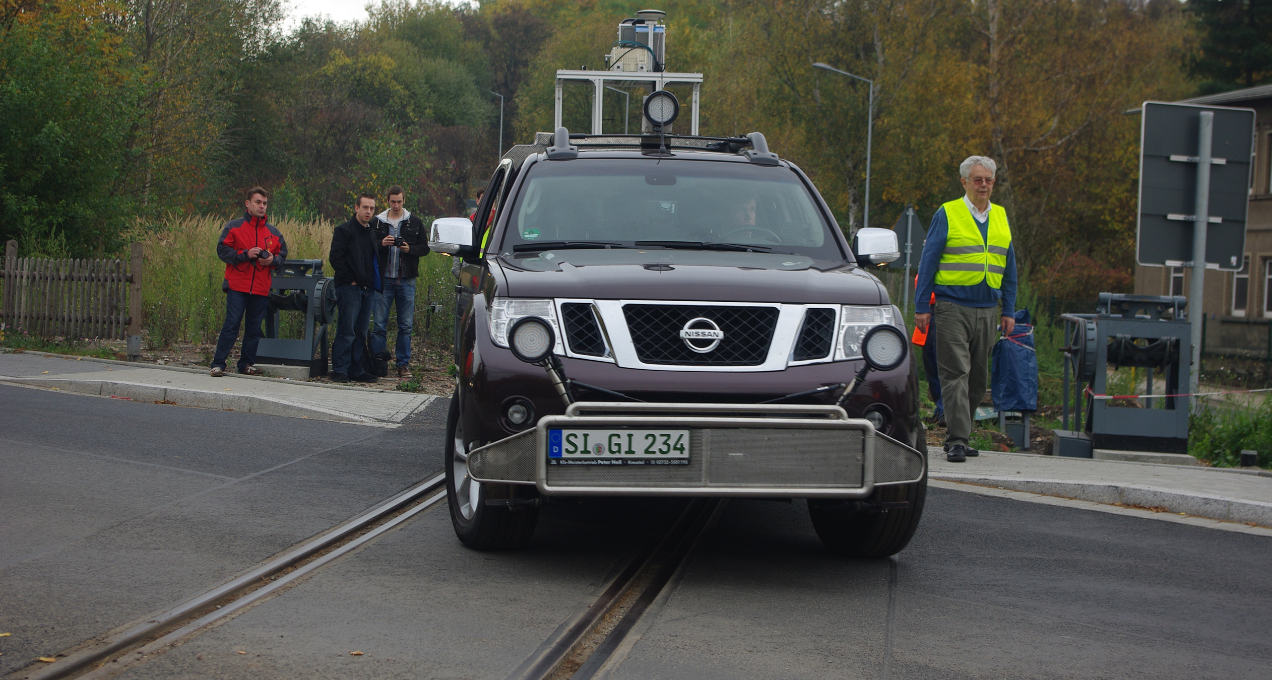
The only thing that initially stands out on the Nissan Navara Pickup is the HiRail equipment allowing movement on both road and rail. It was put into action on the Windbergbahn on 25.10.2013 to survey the 5.6km stretch of the first German alpine railway from Freital Birkigt to the Gittersee train station.
The RailMapper was developed by the company IGI Ingenieur-Gesellschaft für Interfaces mbH of Kreuztal, Germany, in cooperation with the Dresden University of Applied Sciences (Hochschule für Technik und Wirtschaft Dresden). A demonstration of the RailMapper was held at the Semmerinbahn's siding, kindly made available by the Windbergbahn e.V. association.
Trouble-free Surveying
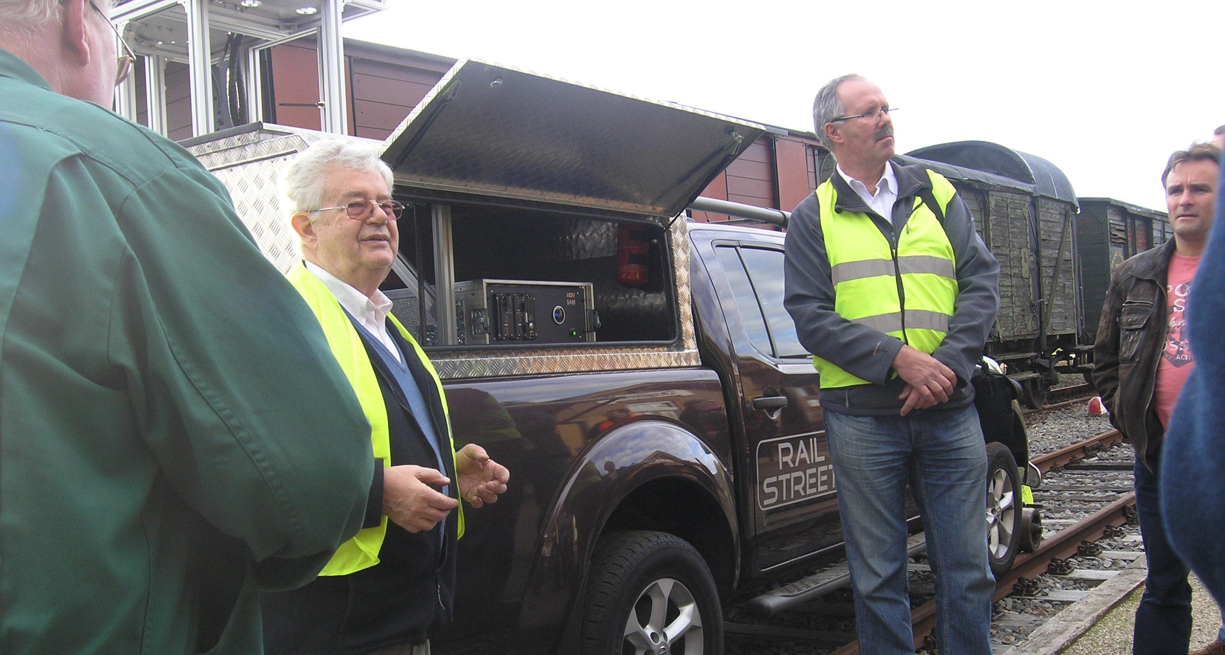
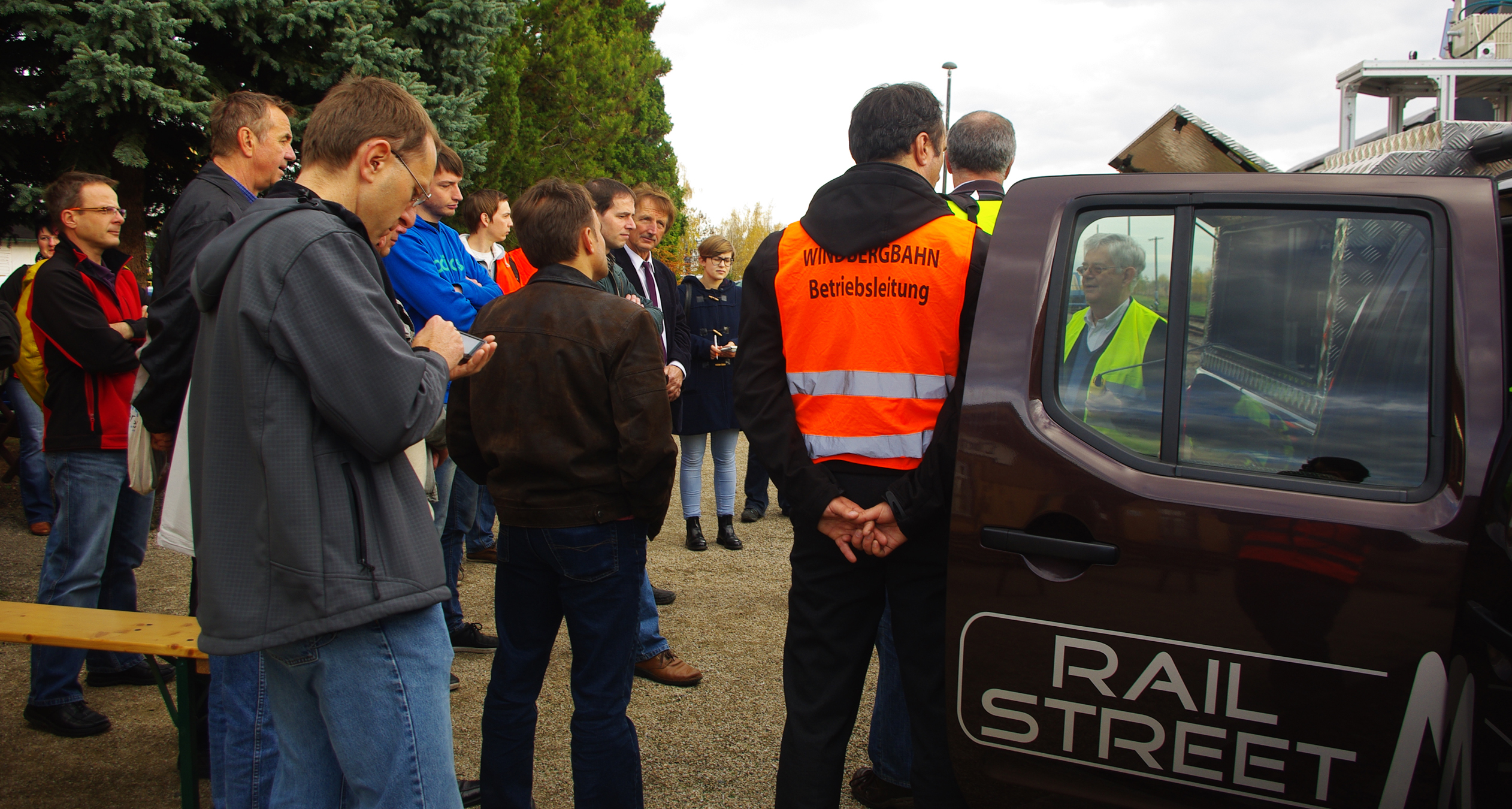
Surveying started at around 4:25pm. First a terrestrial laser scanner on the loading platform was deployed to sample the surroundings. Then, in combination with a GPS-receiver, a geo-referenced point cloud was generated and later evaluated. The vehicle had to drive at a low, consistent speed of approx. 10km/h – ideally without interruption. This was quite a challenge for the safety technicians, particularly between the railways crossings at Gitterseer Street and Coschützer Street. It all went well with the RailMapper getting to the Gittersee railway station at around 6:45pm.
Cooperation in Future
The Windbergbahn has been used for many years to train those studying railway surveying at the HTW Dresden. The students had already pre-recorded geometric data along the railway and at the Gittersee station from which they then generated DTMs at various points. When the RailMapper was in use, IGI and master's students at the Geoinformation faculty were responsible for preparing and recording the data. The resulting point cloud was then carefully evaluated by Prof. Jörg Zimmermann of HTW. This is where card_1 came in.
Evaluating the data using card_1
The point clouds provide an exact, detailed 3D model of the existing conditions. card_1 software can directly access these point clouds providing an effective evaluation tailored to the user's particular requirements. Clearance space measurements, track position checks, calculating 3D profiles or DTMs are typical examples of point cloud applications.
The Windbergbahn e.V. association has been working for many years on the maintenance and renewal of this historic stretch of railway. It won't be long until special trains once again traverse these tracks. The Windbergbahn will then be the first running museum railway in the state of Saxony – emitting great steam clouds of its own.
Client:
IGI-Ingenieur-Gesellschaft für Interfaces mbH
Langenauer Str. 46
57223 Kreuztal, Germany
Fon +49 2732 5525-0
Fax +49 2732 5525-25
www.igi-systems.com
Contractor:
IGI-Ingenieur-Gesellschaft für Interfaces mbH
Zoller & Fröhlich GmbH
Simoniusstraße 22
88239 Wangen im Allgäu
Deutschland
Fon +49 7522 9308-0
Fax +49 7522 9308-252
www.zofre.de
Hochschule für Technik und Wirtschaft Dresden
Friedrich-List-Platz 1
01069 Dresden
Fon +49 351 4620
www.htw-dresden.de
Fotos: Michael Topf - Windbergbahn e.V.