Spatial and Town Planning
card_1 offers a virtually endless number of ways to design and create maps and plans. This is of huge benefit to the fields of spatial and town planning.
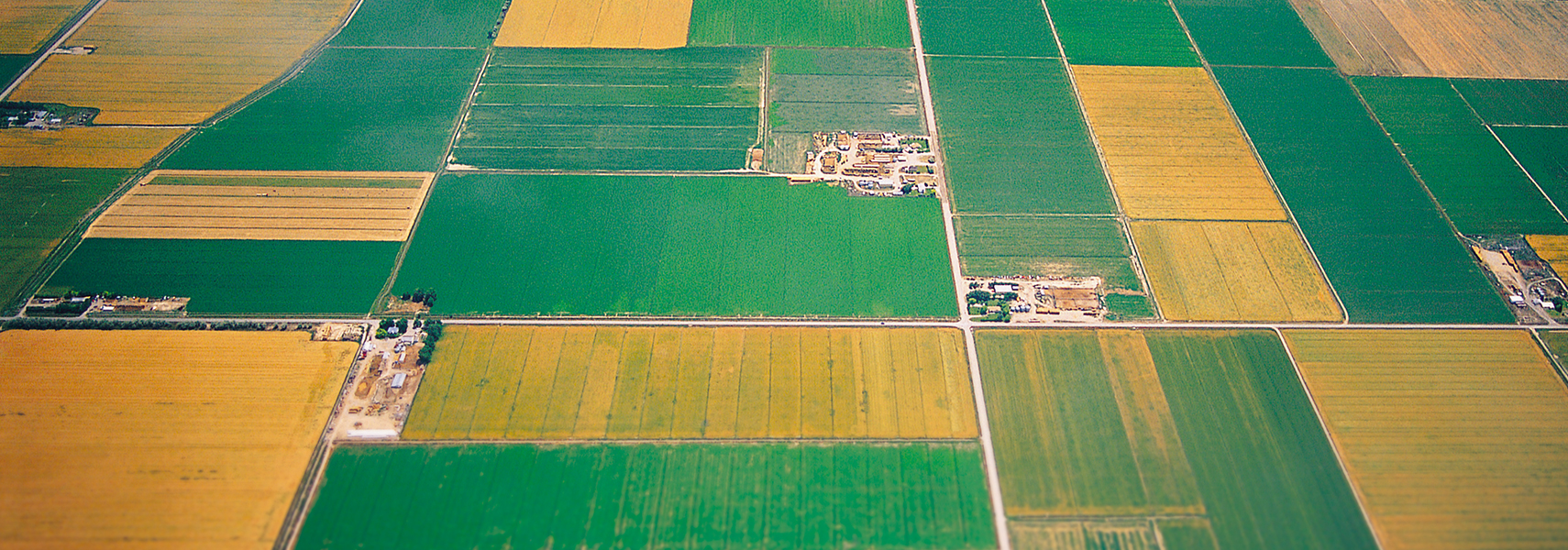
With card_1 you can produce regional development plans, land development plans, rural conservation plans, land-use plans, green structure plans as well as any other plans important to spatial and town planning.
Features:
- Planning on the basis of scanned-in and geo-referenced maps, e.g. aerial photographs
- Hybrid processing and output of the results
- Area shading with unlimited layouts
- Line type selection, individually extendable
- Extensive symbol library which can be updated to include the latest planning requirements
- Technically sound text design with frames, underlining, flags or clear spaces; any symbols may be integrated into texts
- Import of word-wrap text, e.g. land-use statutes
- Adding scanned-in logos (e.g. for titleblock design), photos and overview maps to finished drawings
- Delivery of the planning results as a drawing or digital planning folder
Planning and engineering offices, town and rural planning offices all profit from these features and find card_1 a powerful tool for their planning tasks.