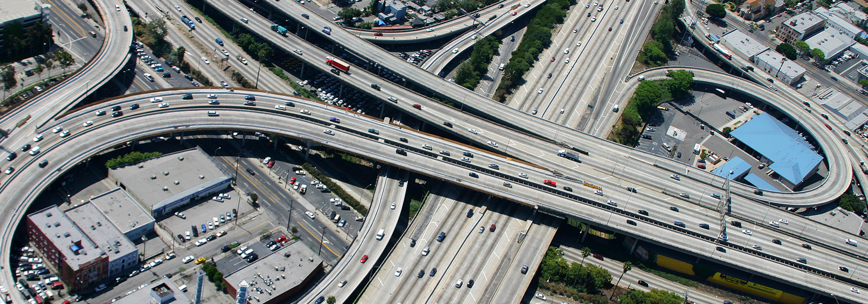
Road Planning
Road planning and surveying are the core of card_1. Without the clever solutions devised for these areas, card_1 would not have become what it is today: one of the leading software systems for traffic route design.
Whether you are working on a new design, extension works or road maintenance projects - card_1 can deal with any planning phase of any road type. The uniform interactive-graphic user interface throughout the system guides you through your planning tasks; reliably and intuitively.
A large number of graphic design functions are at hand to quickly and easily design road alignments and road edges, vertical alignments, cross-falls and road widths. Needless to say, you can also determine all elements of the road cross-section. A virtual route structure can be composed from the cross-sections, moulding perfectly into the existing terrain according to your definitions. Once you have defined the planned route, there are virtually no limitations as to how to produce the results. The highly automated card_1 generates base maps, profile/cross-section drawings, list outputs, volumetric calculations and much more, all according to the relevant guidelines. And, if you wish, you can run our simulation applications to view the planned route from the driver's perspective: it's totally realistic, allowing you to check the sight distances, carriageway markings and safety fences. The interaction between these modules guarantees its BIM-oriented, methodical approach.
Top Features:
- Construction of T-junctions and roundabouts with auto-update
- Powerful cross-section design environment providing unmatched freedom to construct cross-sections and ready-to-use standard solutions
- Vertical alignment construction with auto-updated mass haul diagram
- Required and existing sight distance calculations, route visualization
- Swept turning path analysis
- Volumetric calculations, calculation according to REB, earth volume distribution diagrams, digital terrain model
- Automatic generation of alignments and vertical alignments, vertical alignment optimization for overlay and inlay resurfacing
- Working in multiple views: simultaneous checking of plan, cross-section and profile view
- Cost calculation according to AKVS/elKe and RAB-ING
- Road drainage in compliance with RAS-EW, integrated sewer profiles in compliance with RE
- Automatic generation of plans and drawings, technically sound symbols and annotations conforming with guidelines
- Data exchange with common third party systems, GIS and environment-related applications
- OKSTRA interface
- Land acquisition database, land acquisition plans, ALB import, delivery of the land acquisition data using OKSTRA
The road authorities of the following states work with card_1: Baden-Württemberg, Berlin, Brandenburg, Hesse, Mecklenburg-West Pomerania, Lower Saxony, Saarland, Saxony, Saxony-Anhalt, Thuringia. These states all use card_1 eView to create digital planning folders.